

In this short analysis, the data shows the importance of managing water and soil resources in a just way so that resilience to crisis is built into food system design and the benefits of a sustainable system need to be recognised globally. The requirement for achieving this is a scientific measurement of natural resource inventories that reflect responses and changes to environmental change, geopolitical conflict and international disasters. The custodianship of the ecosystem services associated with natural resources must increasingly be governed internationally so that constructive responses to crises can be delivered.
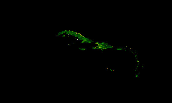
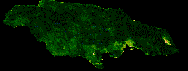
This assessment began with the open access of Dynamic World and our development of MODIS data for European NDVI for 2021 season, we have now linked these agri-indicators to logistics and supply intelligence. Put together in Google Earth Engine it provides the potential for Real time Earth Observation data, a long way from the first Landsat Plates in public domain in the early 70’s! Developing code for dynamic EO and GIS, is a useful toolbox for sustainability assessment and a useful blog post that provide insight into how this integrates with Google Cloud technology is available here, https://cloud.google.com/blog/products/data-analytics/analyzing-satellite-images-in-google-earth-engine-with-bigquery-sql

This is the first we ever developed and started to refine
